Hi everyone! I want to introduce CivBook, a turn-based strategy game in the style of Civilization II that I've been working on for Playdate.
The backstory is a bit unusual: I made the original game myself back in 2007-2008, as a Facebook app built with PHP and MySQL, back in the golden age of social apps. It actually placed third in an app contest organized by Mentez. Over the years the project went dormant, and the original database was even lost, though the PHP code and a good chunk of the color art survived.
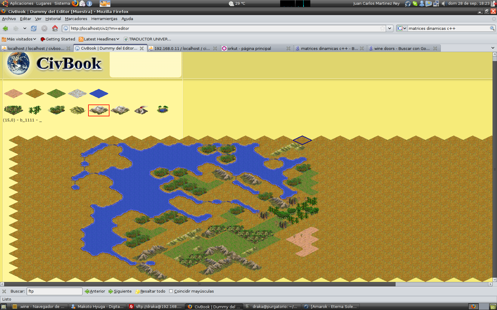
Here's a screenshot from that era: the map editor running on Ubuntu, with Firefox showing the original CivBook's terrain editor, back in 2008.
Almost 18 years later I got a Playdate and decided to rescue that old project, not as a direct port but as a full rewrite: a new engine in C using the official SDK, all-new art redone for the console's 1-bit aesthetic, and my own data tool for editing terrains, units, technologies, and civilizations without touching the code.
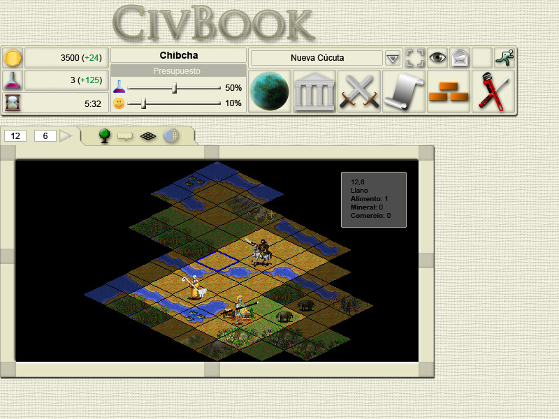
I'm also sharing an old screenshot of what the original color interface looked like, with the isometric map, city resources, and production panel, so you can see where this all started from.
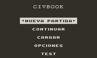
And here's what the main menu looks like today on Playdate:
The game will support multiple languages, so please forgive the Spanish screenshots for now — English ones are coming too!
More than a product, this is a personal project: coming back to something I created almost twenty years ago and rebuilding it at a relaxed pace for a tiny crank-operated, black-and-white console. I'll keep sharing progress here.
A quick update on the side of CivBook that players never see but that makes everything else possible: the tools.
Reviving a 4X means dealing with a lot of interrelated data — terrains, improvements, units, resources, buildings, wonders, technologies, civilizations, governments — so early on I decided to build my own tooling instead of hardcoding everything. Two pieces have really taken shape lately.
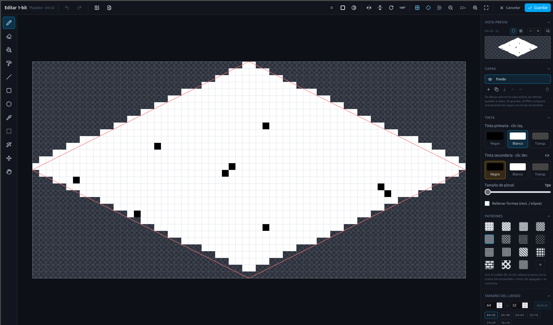
The first is a 1-bit sprite editor tailored to Playdate's constraints. It works in pure black and white with dither patterns instead of grayscale, supports layers, primary/secondary ink, and isometric canvas presets like 64×32 for the terrain tiles. Here it is editing an isometric tile.
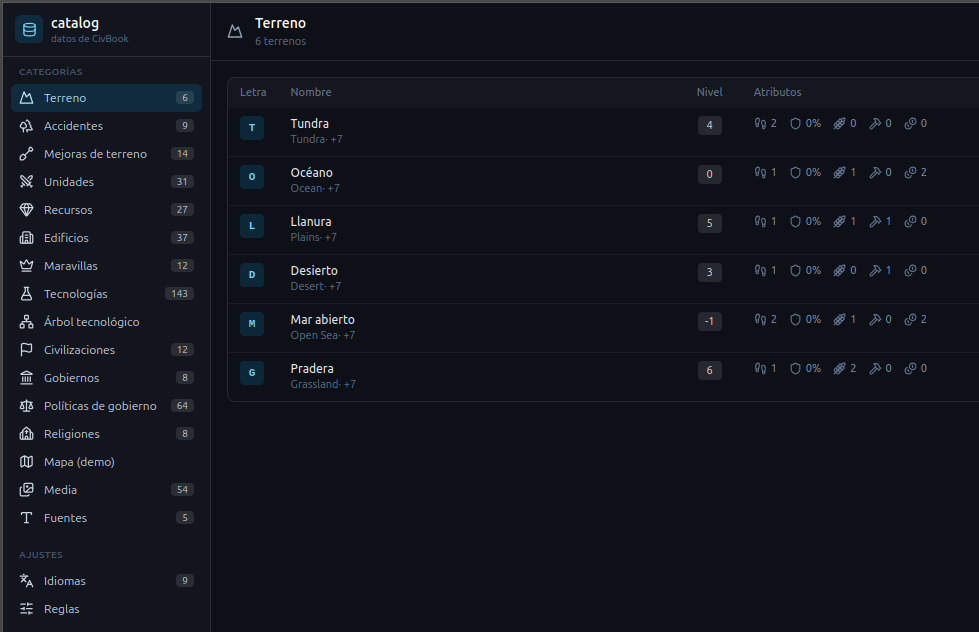
The second is the data catalog — a small CMS where I can define and browse every game entity without touching the C code. Right now it's showing the six base terrains (Tundra, Ocean, Plains, Desert, Open Sea, Grassland) with their levels and attributes, but the same structure drives units, technologies, civilizations and the rest.
The next step I'm most excited about is connecting the two: editing each entity's sprite directly from its catalog entry, so the artwork and the game definitions stay in sync automatically.
Still going at a relaxed pace, but it's satisfying to see almost-twenty-year-old ideas running on a tiny crank-operated console. More soon!
This time it's about the map — the layer that in a 4X is everything: it's the board where the game plays out and also the first thing the player sees. In CivBook I've been working on how terrains, landforms and resource tiles are drawn, and it's been a good reminder that in 1-bit every pixel counts.
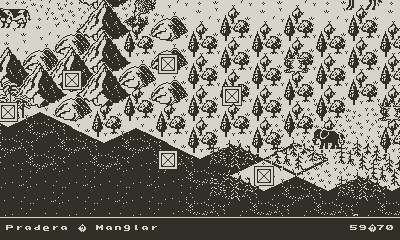
The first challenge was the borders. In an early version the transitions between one terrain and another were hard cuts, jagged zig-zag lines that left the map looking angular and unnatural. It was readable, but it didn't feel like a world. I had to rewrite how those borders are resolved in order to round them off and smooth the transition from one area to another using dither patterns, so that the coastline and the boundaries between terrains are drawn in a much more organic way.
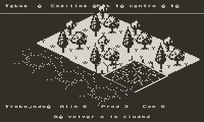
You can see the difference in these screenshots: the overview of the map with its terrains, landforms and some resource tiles scattered around, and then that same map inside the city view, now with rounded borders. On top of it you'll find cities like Tebas, resources like silk or the fish on the ocean tiles, and everything starts to click into place.
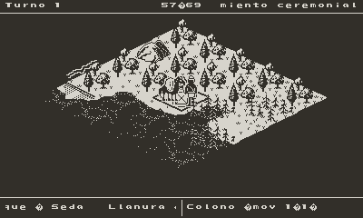
I've also kept polishing the isometric view — both the city's tile-management screen, with the yields of each worker (food, production, trade), and the terrain view with units on it, like the settler in its first few turns.